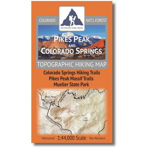
Outdoor Trail Maps Pikes Peak and Colorado Springs Topographic Hiking Map
The Pikes Peak and Colorado Springs Topographic Hiking Map features the hiking trails around Colorado Springs including the entire Pikes Peak Massif, featuring: Waterproof and tear-resistant - designed for on-trail use in harsh conditions1:44,000 scale (1 in 0.7 mi)Smaller size (4"x7" folded, 27"x19" unfolded) and light weight - under 2 ozTrail segment mileages for all trailsLat-long coordinates for all trailheads and key trail junctions50 ft contour linesAccurate, intuitive and easy-to-useUTM GridThis map covers the Pikes Peak Ring The Peak Trail, the Barr Trail and Devils Playground Trail to the summit of Pikes Peak, Mueller State Park, Cheyenne Mountain State Park, Dome Rock State Wildlife Area and more.

